PATH of Least Resistance
For Diversity and Inclusion in City-Building, a self-guided look at the PATH from the point of view of physical and mental accessibility: does the perception a place offers matter? And can exclusion in one sense provide more comfortable access for others? A 1000-word Jane’s Walk introduction.
Carbon Neutrality & Electric Vehicles in the Financial District

For the Financial District BIA, a look at Toronto’s net-zero and electric vehicle plans and what they mean for the Financial District. A comparison to other cities is also made. Research and design all done personally for presentation to FDBIA staff and board.
Oshawa Beautiful

For Planning for Sustainability, a map, website, and QR poster displaying some of Oshawa's best natural spaces to encourage residents to get out and explore their green spaces. I created the map and cleaned up the data.
Urban Valley Atlas

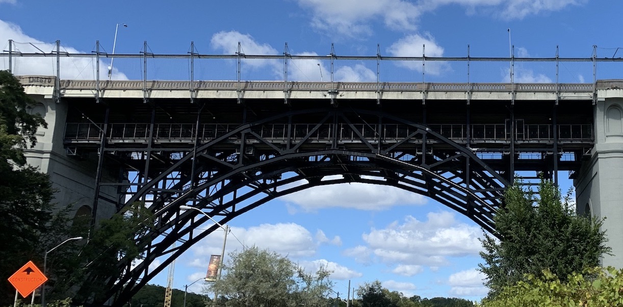
For Physical Planning & Design Fundamentals, a look at the Don (Wonscotonach) watershed from above, the side, and in time. Based around the theme of “tensions in the valley”. I collected and cleaned GIS data, and edited some of the later events on the timeline.
Highest and Best Use

For Institutional, Legal Context of Planning, a report on the highest and best use of a parking lot in a suburban Ontarian town.
Water Policy Brief

For Planning for Sustainability, a look at how wet Toronto is getting and what can be done about that, with special emphasis on UN Sustainable Design Goals (SDGs).
Mobility Analysis

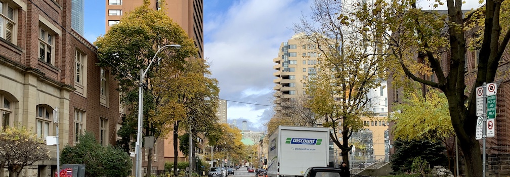
For Urban Transportation: Introduction to Critical Issues, a report on the transportation options in the block surrounding Yonge-Dundas Square. Researched in-depth, complete with three site visits, this is what inspired me to pursue urban planning.
UMTAS

A group project for Engineering Project (Capstone), a way to analyze the universal accessibility of transit stations, tuned for use on subway stations in Toronto. Based on the client’s (CSA Group) standards.